Showing posts with label desert. Show all posts

Tuesday, February 4, 2014

ON THE WAY TO SLAB CITY.

DSC02882 (Copy)

Our friend, Randy Vining was parked, along with us, at the Quechan Casino parking lot. I love his blog, that often includes his friends Wayne and Glen. I finally got to meet them. Glenn is a full timer at 44 years old, and produces music with his computer for Hollywood TV movies. Wayne writes a spiritual blog. These guys engaged in some serious philosophical discussions while here. We didn't see much of Randy, but he came to wish us farewell. DSC02883 (Copy)

Headed for the Slabs, which I hadn't visited since 2008 or 9, we crossed a long stretch of desert. New, on the roadside, what looked like saw horses tied together, are barriers to protect ATV riders from accidentally jumping up onto the roadside and injuring themselves.
DSC02884 (Copy)

Pretty dunes mark our route on highway 8 West, and then later highway 115 West. We passed through the biggest town around here, Brawley, and then the smaller town of Calapatria, population about 7,000 if you include the 4,000 inmates in their prison.
DSC02887 (Copy)

Calapatria has a flagpole 184 feet tall. Their claim to fame, so to speak. The city is 180 feet  below sea level, so their flag will always fly above sea level. We tend to think of them being out in the middle of nowhere. But, high school girls were happily chatting about boys and school and seem very content with their place. Who are we to judge?
DSC02894 (Copy)

Just before you get to the slabs, or Slab City, is the famous Salvation Mountain built by Leonard Knight, who if I'm not mistaken, can no longer attend his mountain. The place is famous all over the world. Movies, books and television programs have been made about his place, but Leonard never changes. He was bullied in school and didn't get much education. His car broke down at this spot and he considered it a message from God and began building his message of love of God. Interesting guy. Couldn't find my pictures of him.
DSC02893 (Copy)

The last time we visited, Leonard was having trouble with vandals stealing his meager funds from him. He was sleeping, then, in one of his vehicles. He built a warren for himself since then.DSC02892 (Copy)

He would paint over the same areas, over and over again because the desert sun fades the paint. The mountain can be walked on and is solid. The construction to the right was in the beginning phase on our last visit. Love IS universal, he has that right. He is a kind and gentle soul. The place was done with donated paint, much of it lead paint.
DSC02895 (Copy)

And, then, Slab City. This is an old military guard station at the entrance to the city, since it was once a military base. I was trying to explain Slab City to my brother on the phone. He has never been, nor heard about it. He is in a rest home because one of the side affects of open heart surgery is blindness. His vision is impaired; he can't read or even see television clearly. He is suffering from gout and can't go home. Misery city for him, but I can read to him about Slab City on the phone later today.  DSC02897 (Copy)

The information kiosk is nearby. Randy loves the slabs, and speculates, "Can a random group of people organize themselves into a form of government?"  The answer is yes. They have rules, they live together and work together but do not trammel on another person's rights. An interesting experiment. Randy has found, in his travels, other places that work that way, none quite as big as the slabs.
DSC02898 (Copy)

The kiosk has a message board, and gives you the identification for their radio station.
DSC02899 (Copy)

Under plastic permanent announcements.
DSC02900 (Copy)

Travel N Pals have a sign. I wanted to buy a newspaper, now called a newsletter. It was once a one-pager for ten cents. Linda, the editor wasn't home, but I bought one from her neighbor, Sandi Andrews. A three-pager for $3. Maps, the zip code, where services are located, events at the slabs, dates and times, and the hot news, a guy bit by a rattle snake made it. A well done little paper.
DSC02901 (Copy)

You can hardly read this message from Linda, but live music under the stars at the Range, which is what you might call a night-club.  No music on Mondays, but the stars last night, with no light pollution?  Magnificent diamonds envelope you,  an experience you only get in places like this. Gorgeous.
We were supposed to meet Jim's friend, Leo Perth, but he was MIA. Jim called his cell and his home in Oregon and did not get an answer. Hopefully we will find out he is okay. More on the slabs tomorrow.

Friday, May 4, 2012

RIDE THE TRAMWAY AT SANDIA PEAK, NM.


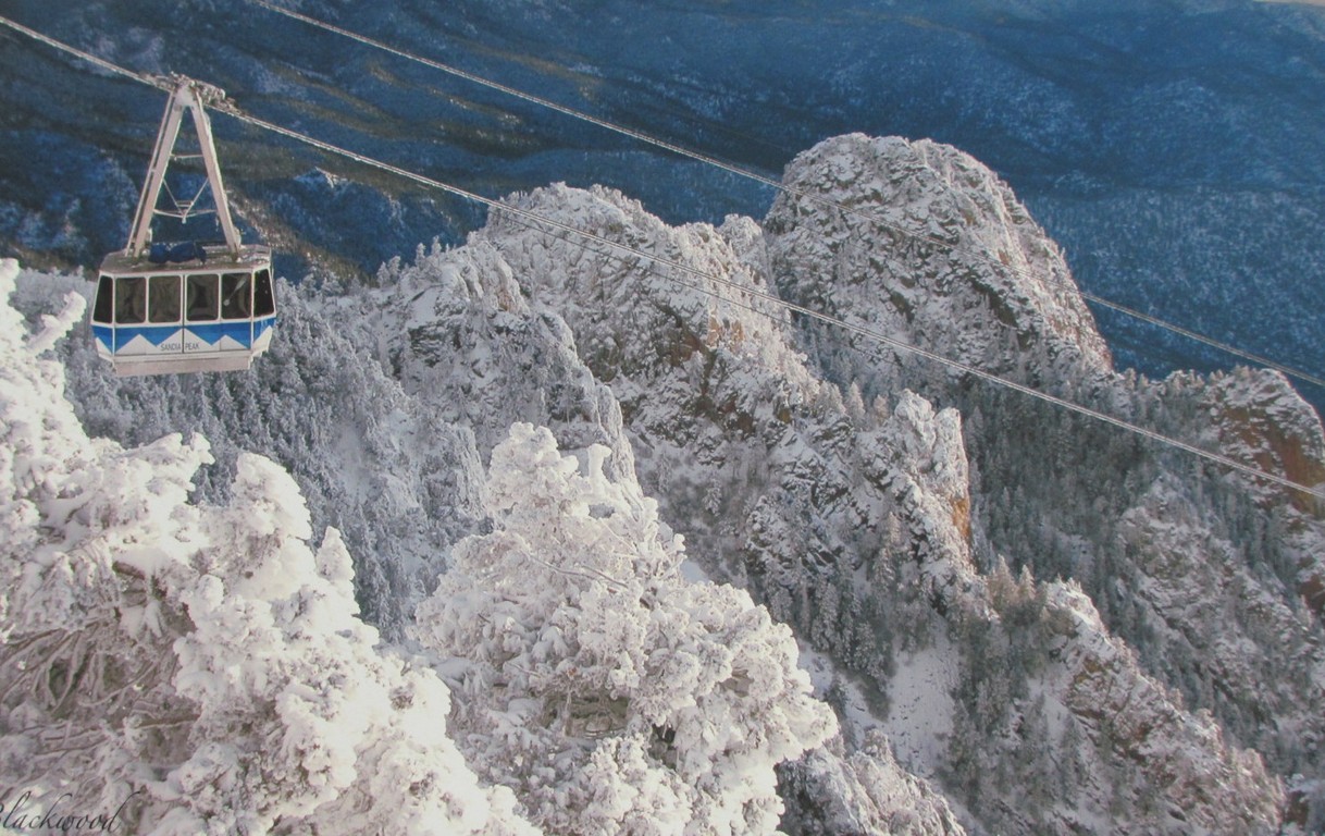
About 50 years ago, Sandia Peak was all about skiing.  Robert Nordhaus, an avid skier visited the Swiss Alps and decided that a tramway could lift skiers off the desert floor, to the 10.678 feet to the ski launch area instead of the long hour and a half drive to the other side of the mountain. The above picture of the tram gondola during the winter was cooling to look at in our 83 degree weather. In fact, this winter past brought 130 inches of snow and was their best year ever, attributed to climate change.  And, the mountain climate can vary by 30 degrees from the valley floor. A lovely prospect on a hot day.

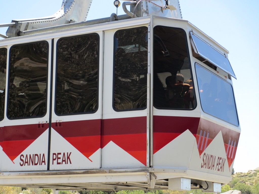
We started our trip by watching a gondola glide into the tramway ready to pick up another group of people.

The gondola’s don’t look big enough to carry fifty people, but they are crammed full. We lucked out and got a nice frontal window view for picture-taking.

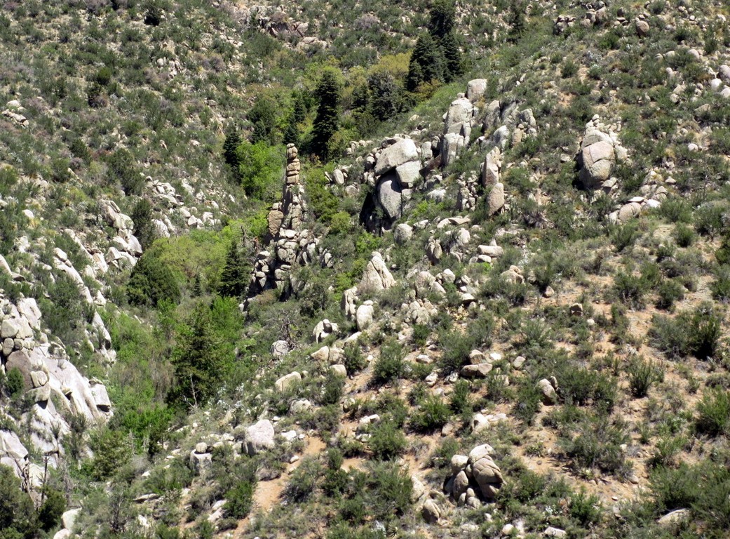
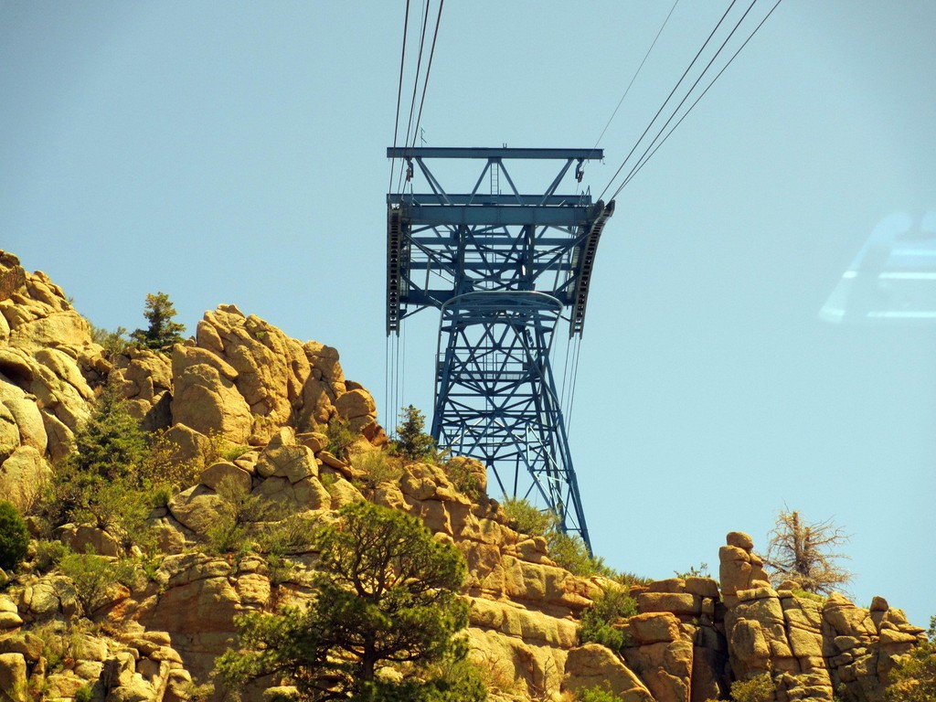
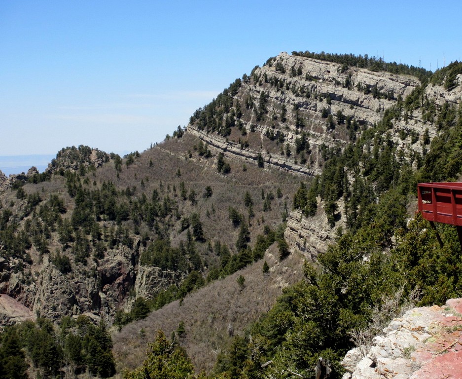
As you ascend, the view of the steep rocky crags and lush forests and (in spring) rushing water below is breathtaking. The ride is gentle like a balloon ride, yet I heard people express  fear about  the height and the weight on the cables. Our first link is the 238 foot tower a mile distant.

Once past the first tower, the terrain below is, as the guide put it, about 8 seconds down, which brought groans from the crowd.

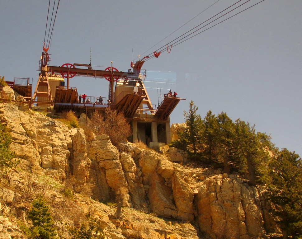
The second tower is a stubby thing that gives you the feeling you are going to crash right into the rock face. This tramway is 46 years old and was once the longest in the world. Now it remains the longest in North America, but the free lengths of a mile between towers is still the longest lengths for any tramway.

A short fifteen minutes and you’ve reached the top where we quickly put on our sweatshirts against a breezy wind.

It was a lovely clear day, and the scenery below, with 38,000 acres of bike trails, hiking paths, and boulder climbing makes this a great tourist destination.

The ski lift, unused now,  on the other side of the mountain and the valley below.  A restaurant serves visitors at the top, if you are hungry.

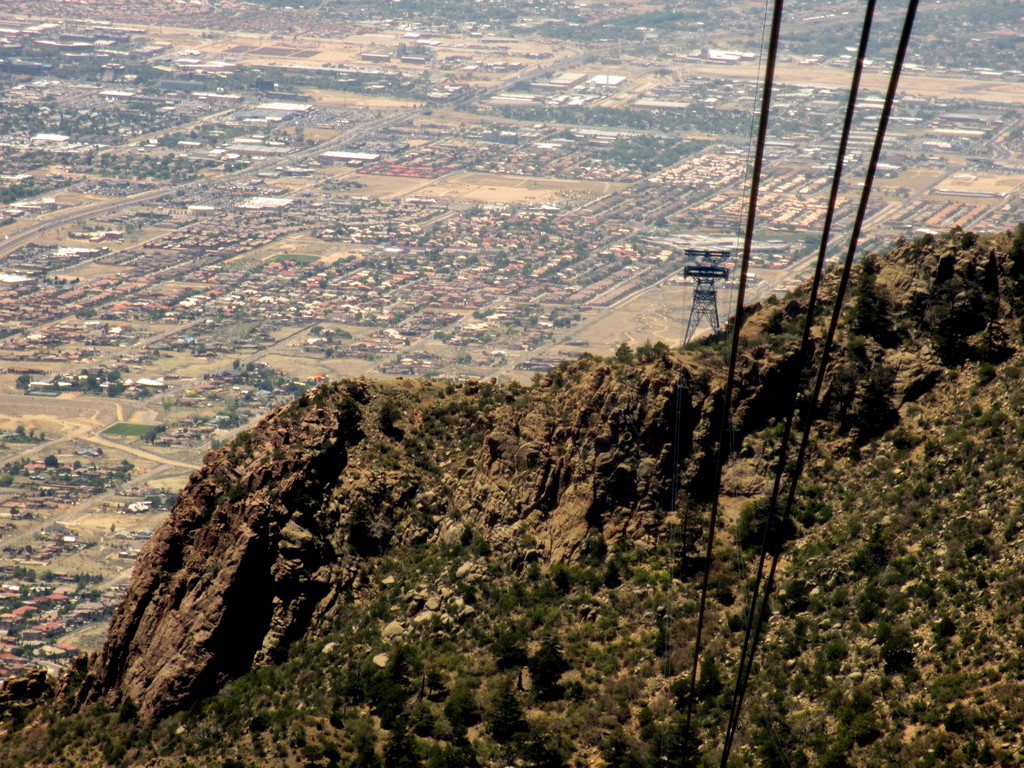
The Albuquerque side reveals a wide-spread, flat city of 900,000 residents. It is said that you can see nine-tenths of New Mexico from this peak.

On the way down, you realize how steep this ride really is.

Now that is steep!  The guide put worries to rest as he explained the several safe back-up systems in place against power failures, or in the event someone gets sick on the ride and has to be removed. They’ve never had to use them.

One three-mile cable weighs 52,000 pounds. A million dollars and down time to replace.  Everyday, employees inspect the wheels that the cable rides on. Replacing them, the minute they see an abrasion or wear on the wheels, prevents damage to the cables and is much cheaper.

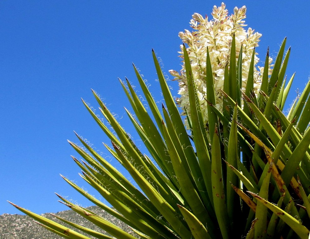
All too soon, we were on the ground again, looking at flowers in bloom.


Friday, January 27, 2012

DESERT HIKES

Author Jerry Ahnert told us about  two distinct features marking  the “real” Butterfield/Immigrant Trail.  A place where children played with stones and an obvious encampment farther on.  Wednesday afternoon, a couple of hours before sunset, I decided to try to find the place where children played while Jim finished a book he was reading.

The terrain is rough and desolate, but beautiful in its own way.

Signs of human activity were fairly abundant. A placement of rock pointing in four directions? Did it indicate something of importance?

An old metal can. Did it hold water?

A piece of metal?  From what era?  Jerry told me when the travelers camped, children play with whatever is available to them. In this case, they placed stones around a bush. He dates his site by finding other artifacts such as bits of metal, buttons, and so on to authenticate the site.

I zig-zagged back and fourth and decided to follow the deepest runnel figuring the stage  would follow water.  I found many campfire spots and stacked rocks before  locating the bush with rocks stacked around it “where children played.”  But, even then I questioned. How can one be sure when those rocks were placed?  Wouldn’t that bush be dead by now? Jerry stated that this area is very stable, and changes very little. He has been hiking these places for sixty years.  The right place or not, the walk was invigorating, made purposeful by trying to find a historic site,  and I returned to catch a nice sunset.

In the morning, Jim decided we should try to find the encampment, so we spread out and searched for signs in two different areas. We could see in a distance the saddle, or pass, the stages had to cross over to get to the Gila River behind the Petroglyphs.

Again, there were many campfire spots. This one, I kicked a rock out of place and noticed how deeply it was buried. Deep enough to convince me it was an older spot. But, how much older?  No ash, small plants had grown into it.

An unusual shaped object once was buried in this spot. Could it have been a part of a stage coach?  Or an old frisbee?

More evidence of what we thought might be water cans. Lots of them, mostly crushed.

We found a deep wash, and several narrower washes running into it that drained the nearby mountain as the elevation increased. We speculated, could these ruts have been made by a stage coach. Both of us are remembering some of those old western movies we’ve seen. But, would a stage have driven inside the deep channel of a wash? So, I walked the bank and Jim stayed in the wash.

Our find!  The obvious encampment. Cans strewn down the embankment to the wash.

Shards of broken dishes, and a piece of rusted metal.

A piece of a thick milk glass bottle.

I love rusty stuff, but Jerry entrusted us with information and we would not loot this site for anything and left it as it was for the next (hopefully respectful) visitor.

We enjoyed a more leisurely pace on our return and took more pictures of scenic stuff.  I uploaded the pictures from our desert hikes if you’d like to see them at the following link:

https://picasaweb.google.com/106530979158681190260/DesertHike

I also uploaded my petroglyphs pictures if you would like to cruise through them.
https://picasaweb.google.com/106530979158681190260/PaintedRockPetroglhyphs

Sunday, January 22, 2012

BUSY SATURDAY


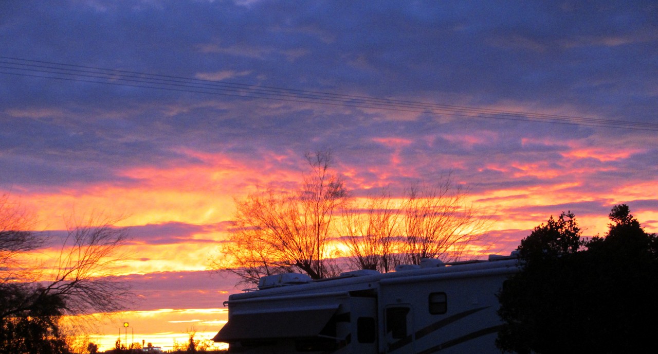
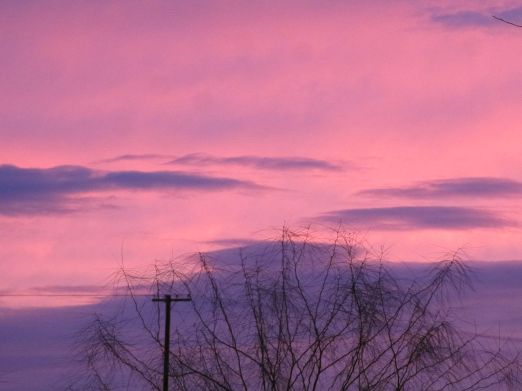
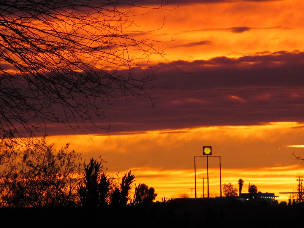
If the sky is slightly clouded, a desert sunrise can be truly spectacular. None of these photos were doctored, except to crop some of the bottom out. From a straight shot, I moved my lens to the left of the Shell station sign visible in the lower left corner.

I was rewarded by this beautiful pink and lavender sky.

When I closed in on the sign, the colors shouted.

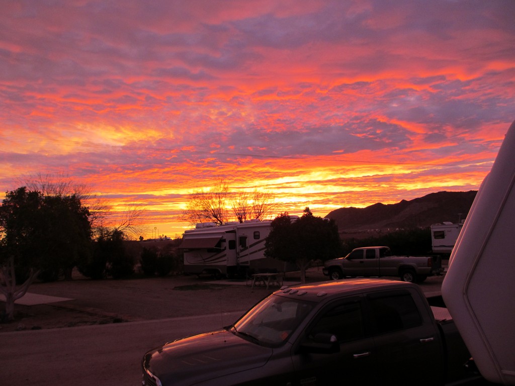
Continually mesmerizing, flooding the campground in a purple glow. We sit back down to our computers and are drawn back to the scene spreading before us.
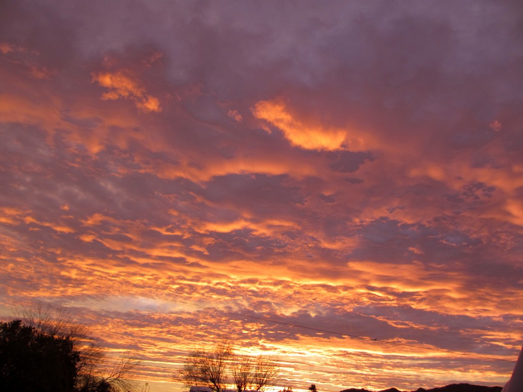
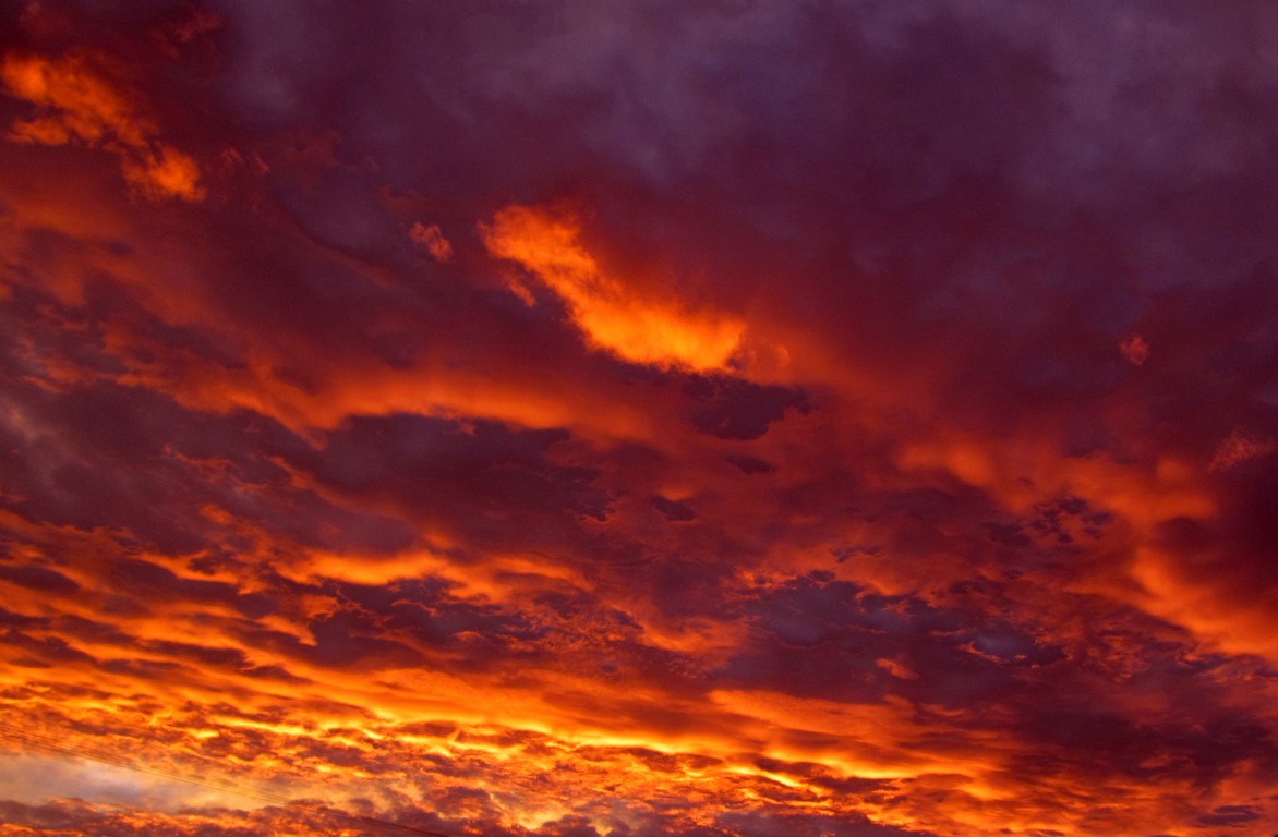
Within a matter of minutes, the colors move and change.

How can we not be grateful for nature’s show?

Then with a last burst of color, it begins to fade away.
We spent a busy “housekeeping” day. Jim cleaned out old files, fixed an appointment to have the motor home and Bronco washed and waxed.   I worked on learning how to get old music CD’s into my Ipod, and failed to figure it out. The music was fun, even so.  We danced around the motor home like teenagers.
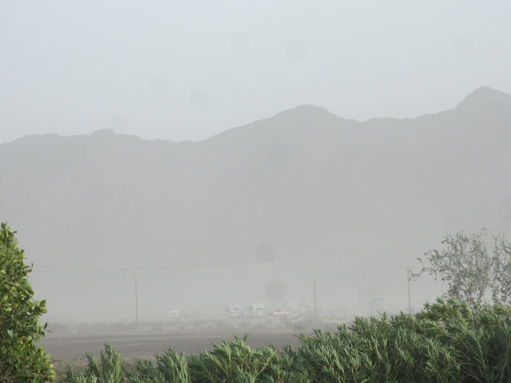
Later in the day, I finished a bike ride  just in time. No sooner was the bike locked back on the Bronco when a desert windstorm came up, billowing sand about for a about four hours.

Luckily we are parked nose to the wind instead of broadside.

The  boon-dockers on the other side of the fence seemed to be getting the worst of it. We have more plants and gravel in the park. Their terrain is sandy. The desert is an unpredictable place. Not the worst storm we’ve ever been in nor the worst sand. We drove through a horrific sandstorm caused by ATV’s on our way to Lake Havasu  in 2010. And also a windstorm that blew 18 wheelers over like toys in Mojave.