Here
we are at creek level, surrounded by beauty. I wanted to see the Meany
Glacier because grizzly and moose sightings are common there. It is an
eight-hour trip with stops for pictures. Jim was reluctant to drive
it. We stopped for a brochure about guided tours. And while we talk to
the desk person, she doesn't say, the last bus up is at 9:00. We take it
back to the car to study the various trips and times. We were 9 miles
from the transit station. We missed the last bus by 15 minutes. My
advice, plan ahead. The bus is the best way to go. They provide a box
lunch and restroom and picture stops for $55 a person. Kids are less.

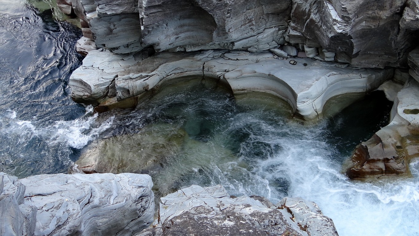
Glacial streams are many. The green water is from glacial "dust", just ground up rock.

It sculpts beautiful bowls as it rushes and swirls by rock impediments. I'd love to soak in it on a hot summer day.

Our
first major stop was the Cedar Loop Trail, an easy one mile walk, over
creeks and ravines on board walks to minimize damage to tree roots and
for access. These three trunks reminded me of the hotel supports from
yesterday.

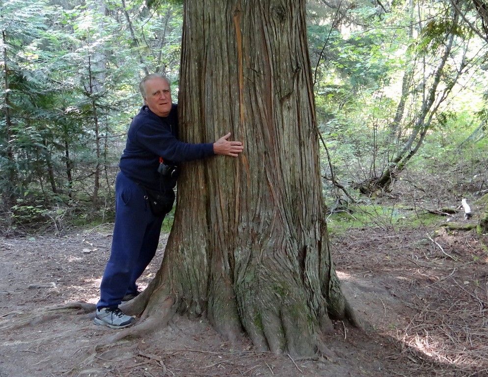
An idea of how big the trunks get.

A lightning strike has broken off a high branch that is as big in circumference as a lodge pole pine.

Though
this is mainly a cedar forest, the complimentary trees that grow with
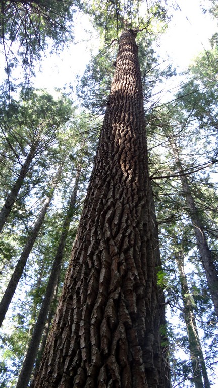
it are also huge. This is a hemlock, the rough, deep bark is
particularly attractive. Black cottonwood grows here as well, with even
denser, deeper bark.

In
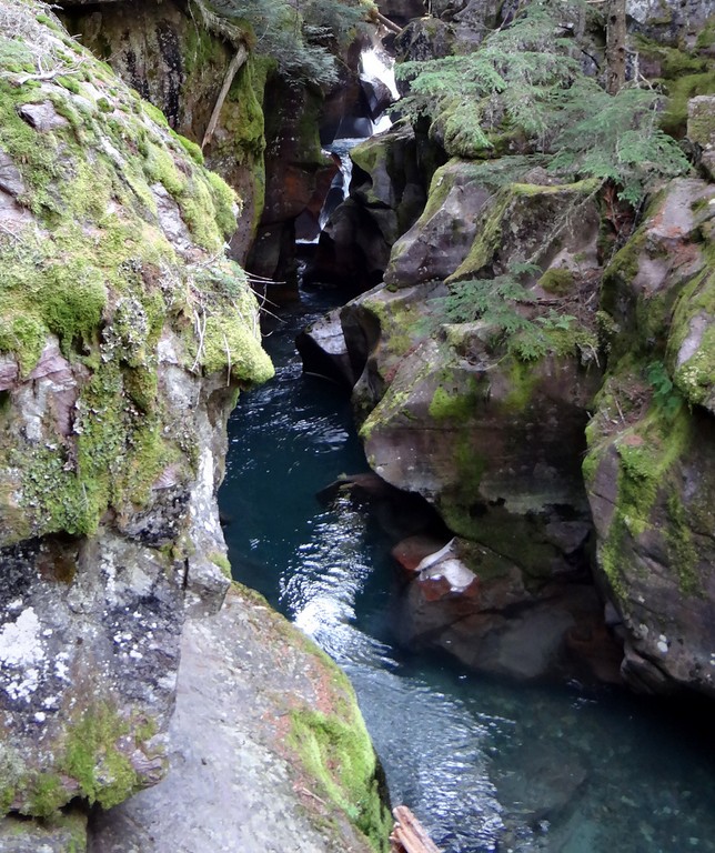
this heavily shaded old growth forest, the rocks beside this stream
grow moss and lichens. In one spot, huge boulders as big as a house were
completely covered with moss.

We
met some people who were having their pictures taken in front of this
upturned tree root. They offered to take ours with our cameras, so we
posed.

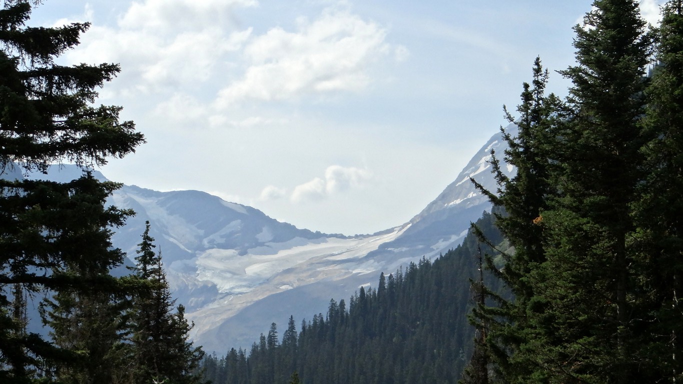
We begin to climb and we get our first glimpse of Heavenly Peak. It has a small glacier.

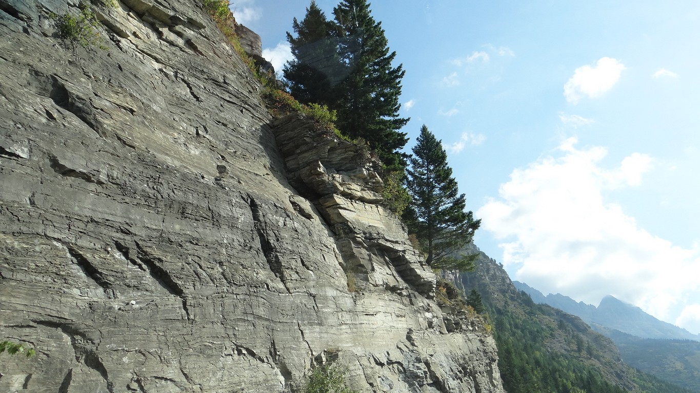
As we climb, the road narrows and we have to admire the work it took to build it in the early 1900's.

And, we admire the tenacity of the trees that grow in any little crevice of sheer rock faces.

An unusual sight where one river flows on the left and another flows on the right of this huge dome.

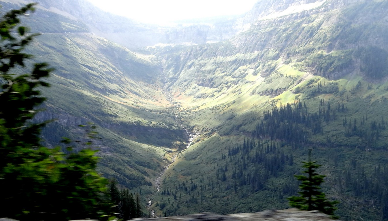
Looking
into the sun, this is a lousy picture, but it shows the U shape at the
top where the glacier moved through and gouged this valley.

A view of that same valley from the side as we make our way around it headed for Logon Pass.

The roads are narrow and harrowing if you don't like driving on this type of terrain, but the views are spectacular.

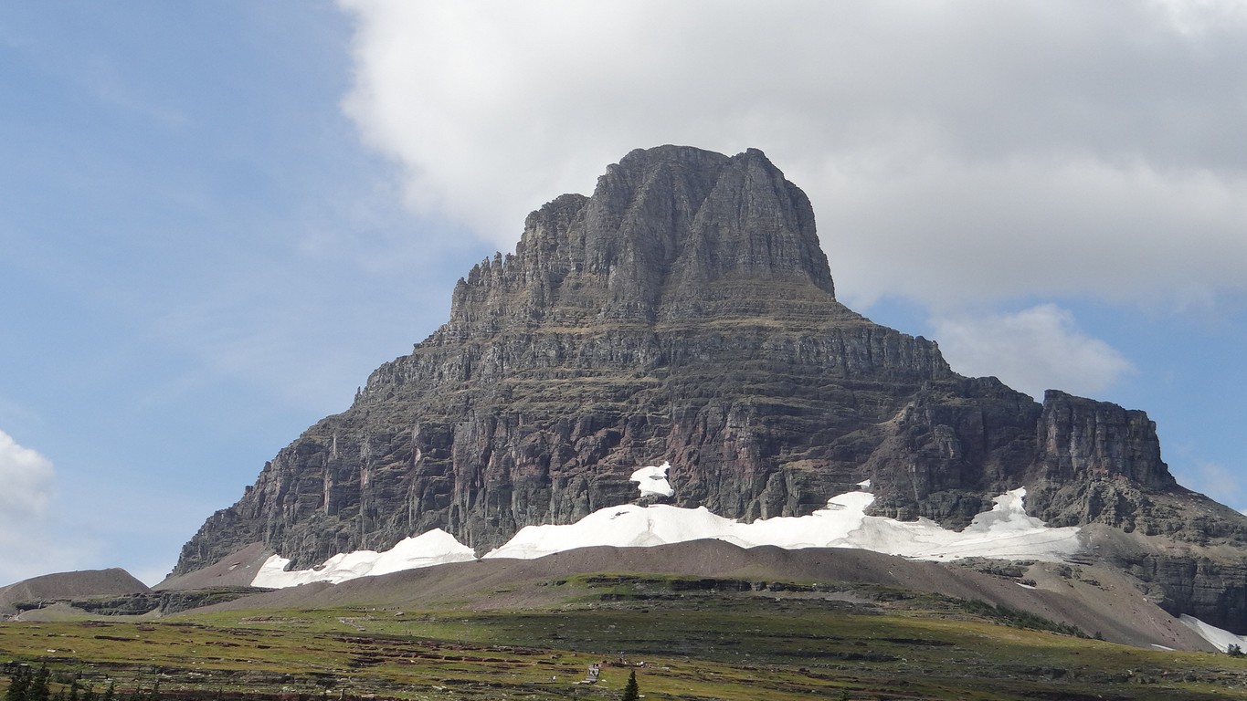
The top of the pass is now visible. The mountain is cloud covered, and resembles a spouting volcano.

We
make it to the top, get out at the visitors center, and find out they
have restrooms, but nothing to eat. Luckily we have emergency rations, a
bag of peanuts and raisins in the Bronco. A pretty lite lunch, but it
works. This is the point of the Continental Divide, where waters on the
left of this peak flow to the Atlantic and waters to the right flow to
the Pacific.

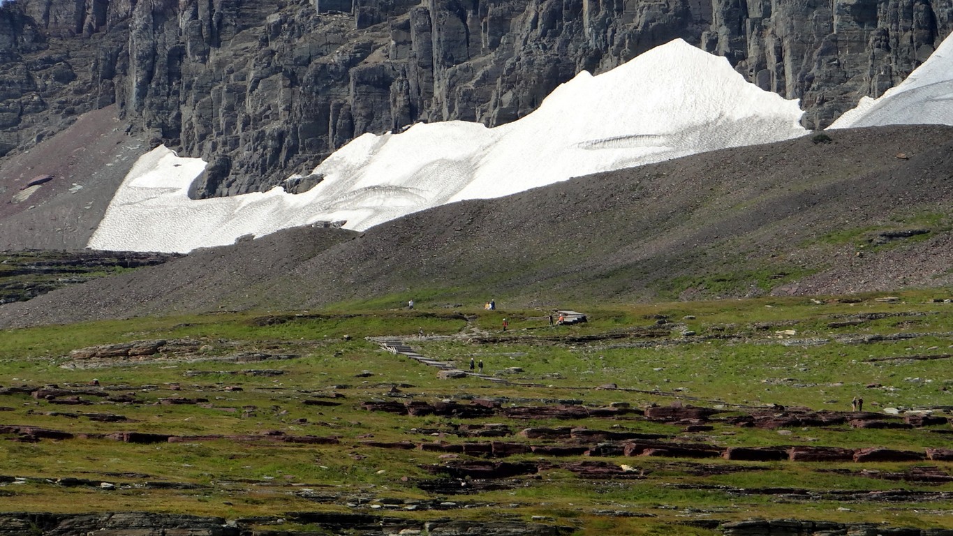
People
like to hike up to the glacier. You can see them in the foreground. You
might have to click on the picture and enlarge it.

Glaciers are melting at an accelerated rate and we wonder how long these small glaciers will last.

Tall poles mark the walking paths to guide the snow blowers or snow plows. The snow pack here measures 80 feet deep at times.

Water,
water everywhere, still, and it is mid September. The pass will be
closed to tourists in a couple of weeks. If you have the window open,
your camera could get sprayed.

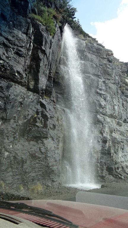
Another
roadside water fall. And the uneven peaks in the distance remind us
that the Rockies are a young mountain compared to the Appalachians with
their rounded tops.

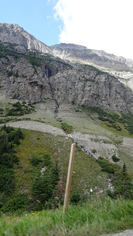
Here we see the beginnings of Medicine Woman Falls.

It
falls a distance of 492 feet and is routed under to hairpin roadways
before it reaches a stream. In the spring it is a major gusher.

Going down the 6,642 feet is exciting, and beautiful.

A last look. It is easy to see why the Native Americans could assign spiritual qualities to such beauty and majesty.